Guide // Drive865 on the Cherohala
Driving the Cherohala Skyway
43 miles of ridge-line road from Tellico Plains to Robbinsville. No fuel on the route, no cell signal for most of it, and the best open-sweeper driving in the Southeast.
Quick answer
The Cherohala Skyway is TN-165/NC-143, running 43 miles from Tellico Plains, Tennessee to Robbinsville, North Carolina. The road climbs to about 5,400 feet at the summit and stays at elevation for most of its length, with panoramic views in every direction and very little traffic. There is no fuel on the route. Fill up before Tellico Plains. The best overlooks are Haw Knob (TN side, near the top), the Bob Stratton Bald pullout, and the Santeetlah Overlook on the NC side. The Cherohala pairs perfectly with Tail of the Dragon: drive the Dragon first (north to south), then catch US-129 through Robbinsville and loop back via TN-165.
What the Cherohala Skyway actually is
The Cherohala Skyway is a designated National Scenic Byway that runs 43 miles from Tellico Plains, Tennessee to Robbinsville, North Carolina through the Cherokee National Forest and Nantahala National Forest. It was completed in 1996 after nearly 40 years of construction, a road built from political will and federal appropriation as much as engineering. The name is a portmanteau of the two forests it travels through: Cherokee and Nantahala.
The road climbs from roughly 900 feet at Tellico Plains to about 5,400 feet near the Tennessee-North Carolina state line, then descends into the Robbinsville valley. This elevation arc is the reason the road is different from everything else in the region. The first dozen miles are the climb: tight switchbacks, forest canopy overhead, occasional gap views. Once you break into the ridge, the road opens up into long, sweeping corners with exposed views in every direction. This is the section that makes the Cherohala worth making a special trip for.
Traffic is light on any weekday and thin even on weekends. This is not the Dragon. There are no Killboy photographers, no Tree of Shame, no parade of motorcycles ten cars deep. The Cherohala is quieter, emptier, and longer. On a clear October morning, the views from the ridge make it arguably the better road of the two, even if it's not the more famous one.
Fuel and logistics before you leave
This is not optional information: there is no fuel on the Cherohala Skyway. Once you leave Tellico Plains heading east, there is no gas station until Robbinsville, North Carolina, 43 miles away. The road has no commercial development: no convenience stores, no restaurants, no pull-offs with services. If you start the Cherohala with less than a half tank, you are making an avoidable gamble.
Fill up in Tellico Plains before you reach the Skyway junction. There are stations in town and they're easy to find. If you're coming from TYS via the Dragon day (Deals Gap to Robbinsville, then north to Tellico Plains), fuel in Robbinsville before you start the Cherohala in the eastward direction.
Cell signal disappears within a few miles of the Tellico Plains junction and returns near Robbinsville. This is normal and expected. You're on a ridge between two major valleys with no towers in range. Download an offline map if you're navigating by phone. The road has exactly two possible routes: toward Tellico Plains or toward Robbinsville. You will not get lost, but offline maps are a good habit on any mountain road.
- Fuel in Tellico Plains before starting (TN side) or Robbinsville (NC side)
- No cell service for most of the 43-mile route: download offline maps
- No fuel, restaurants, or services anywhere on the route
- Budget a minimum of 75 minutes to drive the road without rushing
- If combining with the Dragon: fuel at Robbinsville before the Cherohala leg
Overlooks worth stopping at
Haw Knob is the signature overlook on the Tennessee side of the Cherohala. It sits at the ridge near the state line, facing west over the Cherokee National Forest. On a clear day the view extends 50+ miles and drops 3,000 feet in vertical relief to the valley below. It's a paved pullout with enough room for several cars. Stop here. Get out of the car. It's the reason the road exists.
The Bob Stratton Bald area, accessible from a short trail off the ridge near the state line, offers 360-degree views if you're willing to walk a quarter mile from the car. It's worth the walk in fall when the hardwoods are turning. The colors at this elevation (above 5,000 feet) peak two to three weeks earlier than in the valleys below.
On the North Carolina side, the Santeetlah Overlook provides views down into Santeetlah Lake and the valley below Robbinsville. The descent from the ridge to Robbinsville is itself one of the road's best driving sections: a long sequence of decreasing-radius corners that requires thoughtful entry speeds. Don't be in a hurry here; the corner radii are honest about what they are, and the drop-off on the outside of several corners is significant.
How the Cherohala differs from the Dragon
The Dragon (US-129) and the Cherohala Skyway are often discussed together because they share a geographic region and many of the same visitors. But they're different driving experiences in almost every meaningful way. The Dragon is tight and relentless: 318 corners in 11 miles, low elevation, forest canopy, no views. The Cherohala is open and elevated: fewer total corners, much longer radius, high elevation, panoramic views, long straights between the sweepers.
First-timers sometimes underestimate the Cherohala because it doesn't have the Dragon's reputation. That's a mistake. The views, the elevation, and the mid-road sections are among the best driving backdrops in the country. If you can only do one road in a day, the Dragon gets the historical nod. If you can do both, do both.
Best time of year
The Cherohala is best from late April through early November, with the October window being the most spectacular if you're willing to share the road with leaf-peepers. The ridge stays at elevation above 5,000 feet through most of the route, which means spring green arrives two to three weeks later than in the valleys and fall color arrives two to three weeks earlier. The visual seasons are compressed and intense.
Summer mornings (early June through August, before 10am) are a good window: cool temperatures at the top, minimal traffic, low humidity. Afternoon thunderstorms develop over the ridge in summer quickly and without much warning. The road gets wet fast and the pavement at elevation cools into a cold, slick surface. If you see anvil clouds building to the south, finish your run before they arrive.
Winter can bring ice and closures on the upper sections of the Skyway. The TN DOT and NC DOT monitor and close the road when conditions require it. Check road condition reports before a November through March trip; the lower sections are usually fine while the summit area can be impassable.
Combining the Cherohala and the Dragon in one day
The standard itinerary runs south to north from TYS and works in both roads: pick up from TYS at TYS, take US-129 south to Deals Gap (about 85 minutes), run the Dragon two or three times (north–south preferred direction on the first pass), eat at Tapoco Lodge, then take US-129 south through Robbinsville, NC, and catch TN-165 west for the Cherohala back to Tellico Plains. From Tellico Plains, take US-411 north to Maryville and return to TYS.
Total drive time on this loop is approximately 7–8 hours including stops. It's a long day behind the wheel, the right kind of long. The Cherohala leg from Robbinsville to Tellico Plains takes about 90 minutes driven at a pace that includes the overlook stops. Plan to be back in Maryville or Knoxville by early evening.
If you're doing the day in reverse (starting from Tellico Plains on the Cherohala first), the westbound direction is slightly better for views because you're cresting the ridge toward the Tennessee valley with the best panoramic payoff at the top. Either direction works; just make sure you have fuel before you commit to whichever end you start from.
Current cars for your trip
See full fleet →Compare prices for your dates
8 current options. Enter your trip times once, then choose a vehicle to check availability.
Earliest pickup: today at 2:30 PM ET.
Estimates include rental taxes. Optional extras and airport exit parking are separate. Your dates carry through to the vehicle page.
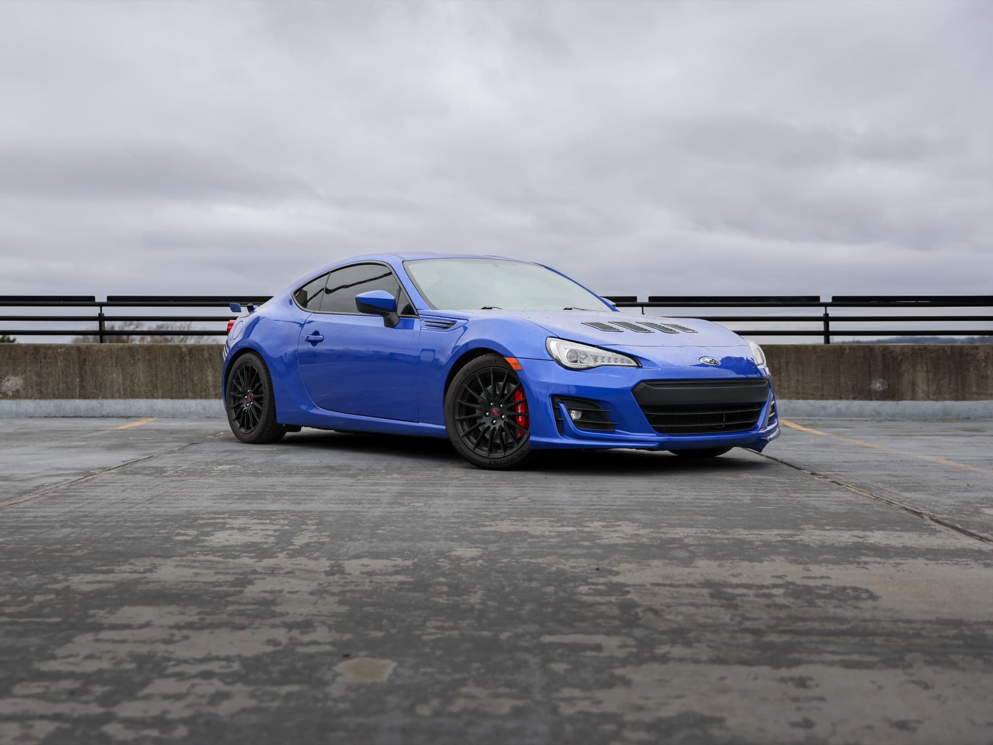
2020 Subaru BRZ Limited
4 seats · Manual · RWD
View vehicle & pricing →
2021 Toyota Supra 3.0 Premium
2 seats · Automatic · RWD
View vehicle & pricing →
2019 Mazda MX-5 Miata RF 30th Anniversary
2 seats · Manual · RWD · Convertible
View vehicle & pricing →
2022 Subaru WRX GT
5 seats · Automatic · AWD
View vehicle & pricing →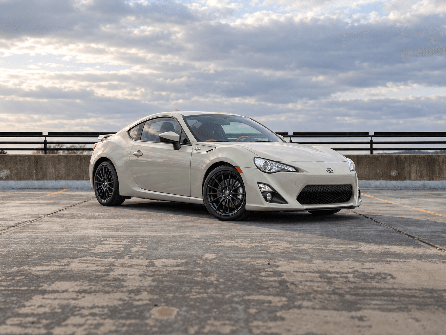
2016 Scion FR-S Release Series 2.0
4 seats · Manual · RWD
View vehicle & pricing →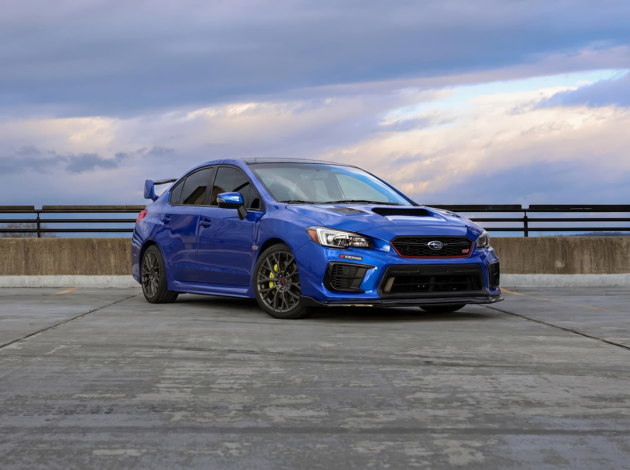
2021 Subaru WRX STI Base
5 seats · Manual · AWD
View vehicle & pricing →
2024 Nissan Z NISMO
2 seats · Automatic · RWD
View vehicle & pricing →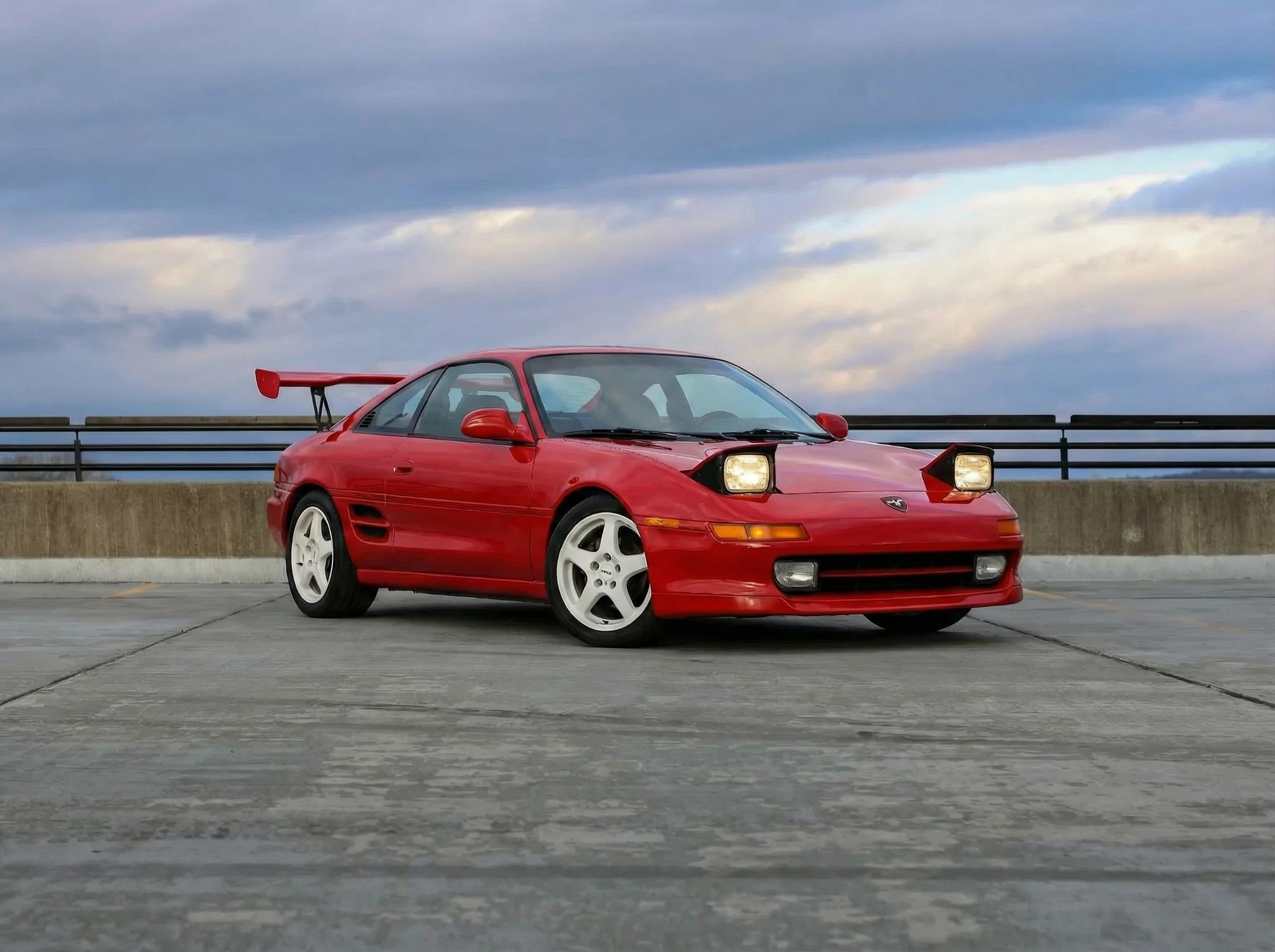
1994 Toyota MR2 GT-S
2 seats · Manual · RWD
View vehicle & pricing →Ready to request a trip? You'll create an account, verify your email and phone, and provide your driver's license, a selfie and insurance details before submitting. A request is reviewed before your booking is confirmed.
Need help with seating, luggage or pickup? Ask us before you book.
Frequently asked questions
Is there cell service on the Cherohala Skyway?
No, for most of the 43-mile route. Signal drops within a few miles of the Tellico Plains junction and returns near Robbinsville. Download offline maps before you go. This is consistent across all carriers. It's a ridge with no towers. Plan accordingly rather than expecting a signal to help you.
Can I do the Cherohala and Tail of the Dragon in the same day?
Yes. The standard loop is TYS → Deals Gap (Dragon) → Tapoco for lunch → US-129 south to Robbinsville → TN-165 west (Cherohala) → Tellico Plains → US-411 north → TYS. Total driving time is 7–8 hours including overlook stops. Leave TYS by 8am to have the day work comfortably.
What are the best overlooks on the Cherohala?
Haw Knob on the Tennessee side (near the state line) is the best single stop, 50+ mile views west into the Cherokee National Forest. The Santeetlah Overlook on the NC side provides views over Santeetlah Lake. Bob Stratton Bald requires a short walk from the road and offers 360-degree views, worth it on a clear day.
Is the Cherohala closed in winter?
The upper sections (near the TN/NC state line, above 5,000 feet) can close due to ice and snow between November and March. The lower sections are typically drivable year-round. Check TN DOT and NC DOT road condition reports before a cold-weather trip. The road at its best is April through October.
How long does the Cherohala take to drive?
Plan 75 to 90 minutes for the 43-mile route if you include a few overlook stops. Without stops, the road can be driven in 55–65 minutes. There's no reason to rush it. The whole point is the driving, and the overlooks at the top are what the road is built around.
Is the Cherohala or the Dragon better for a first-timer?
The Dragon is the more famous and technically demanding road: 318 corners, 11 miles, a very focused experience. The Cherohala is longer, more open, and better for enjoying the landscape and elevation. For a pure first-time driving experience, the Dragon is the draw. For someone who wants views and a road that breathes between corners, the Cherohala is arguably better. Most people who drive one come back to drive both.
How do I see pricing and request a booking?
Open a vehicle and select your trip start and end dates and times to see pricing. A listed vehicle is not a guarantee of availability for your dates. Continue from the vehicle page to submit a booking request.
Where do I collect the car?
Choose Maryville pickup or contactless delivery at McGhee Tyson Airport (TYS). Review the pickup instructions for your confirmed booking before traveling. Airport delivery has no separate delivery charge. Customer responsible for airport parking fee upon exit, typically no more than $13
Related
Related
Driving Tail of the Dragon for the first time
The other half of the great East Tennessee driving day. 318 corners, 11 miles, what to expect on your first run.
Related
Cherohala Skyway: attraction page
Trip-planning version with drive times from TYS, seasonal notes, and what the day looks like.
Related
Best car for Tail of the Dragon
Choose a car you are comfortable driving and plan your US-129 route.
Related
3-day Smokies itinerary from Knoxville
How to build the full East Tennessee road trip with TYS pickup, Foothills Parkway, the Dragon, and the Cherohala.
Current US-129 choices